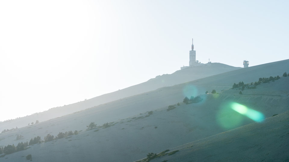
Did it snow on Mont Ventoux? In June? Looking from afar whilst standing in the lavender fields of the Provence the sandy limestone on top may appear like snow. The upper fourth of the Provence giant is covered in rocks after having left the treeline a couple a hundred meters below. It is hard to be in the Vaucluse, a western region of the Provence in Southern France, and not to see the highest mountain with 1909 m above sea level.

Surrounded by lavender fields
During our stay in the region in June 2017 we spent the late afternoon around the Sault area, well known for its lavender fields. They weren't up to its full bloom, but already beautiful. Afterwards we drove up the Mont Ventoux, the mountain of the winds. More than 320 km/h have been noticed up here. We did it by car, of course.

A cyclist's dream
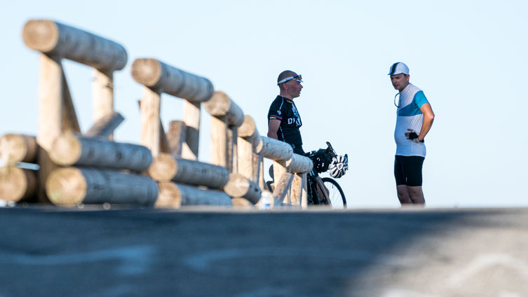
On our way we passed quite some cyclists climbing their way up. The Mont Ventoux is a 16 time Tour de France summit so far (since 1951). And whenever it is in the profile it is one of the hardest challenges of the three weeks' tour. The classic route from Bedoin takes the pros about an hour. Starting at 300 m and climbing all the way up to more than 1900 m. 21,5 km with an average gradient of 7,5 %. Fun only by car, I suppose...

A lunar landscape
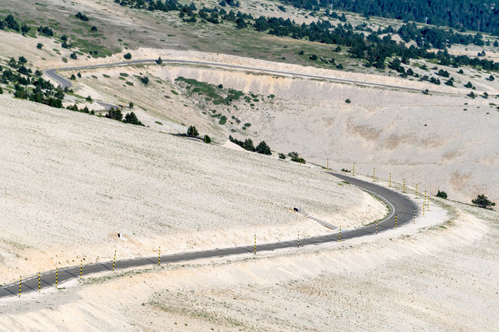
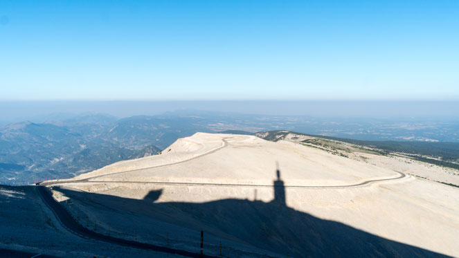
I especially enjoyed the upper parts of the mountain with the deserts of sandy limestone looking like a lunar landscape. No trees and just some black and yellow sticks aside the road indicating the snow level in winter. The finish line on top is reserved for the cyclists that where brave enough to make it. I loved the evening light and the shadows. Although we left the top at 8 pm it was still really bright up there. No wonder two days ahead of the longest day of the year. The best part was our way back to Bedoin (the route that the cyclists normally take up). Hardly anybody else driving around and a small street in the deep forest with its of hanging curves. This way it would be fun with a bike, too.


Write a comment